When people think of Altoona, PA they think of the Horseshoe Curve. This ultimate railfanning guide has locations east and west of the Horseshoe Curve.
- We would love your feedback, please email us with any changes or updates.
- Please check out all related blog entries about Railfanning in Altoona, PA
Scanner Frequencies
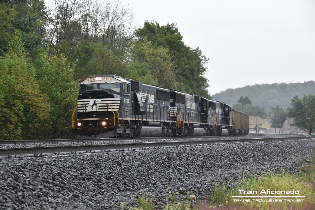
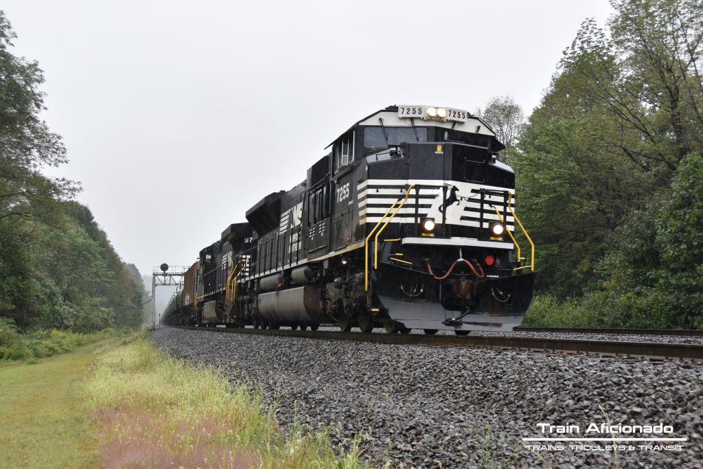
Norfolk Southern
160.875 [AAR 051] Dispatch/Road 1 – Update 10/2020
161.505 [AAR 093] Dispatch/Road 2 – Update 10/2020
Downloads
– Altoona Milepost Timetable Download
Links
- Horseshoe Curve Unofficial Log Board
- Horseshoe Curve – Altoona, Pennsylvania, USA | Virtual Railfan LIVE
East to west
Location:
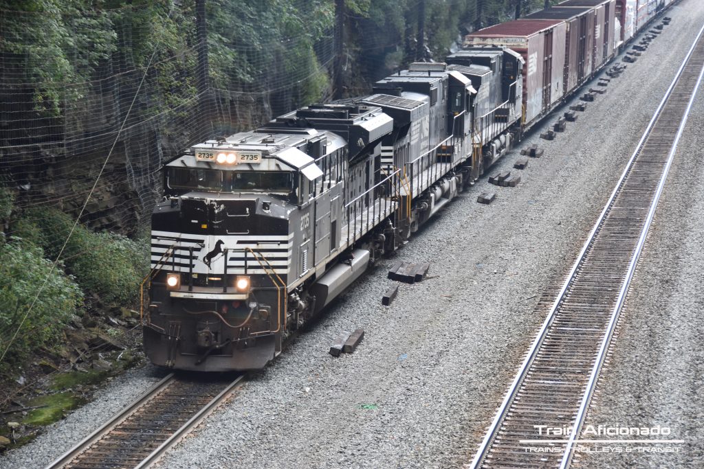
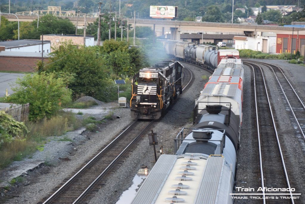
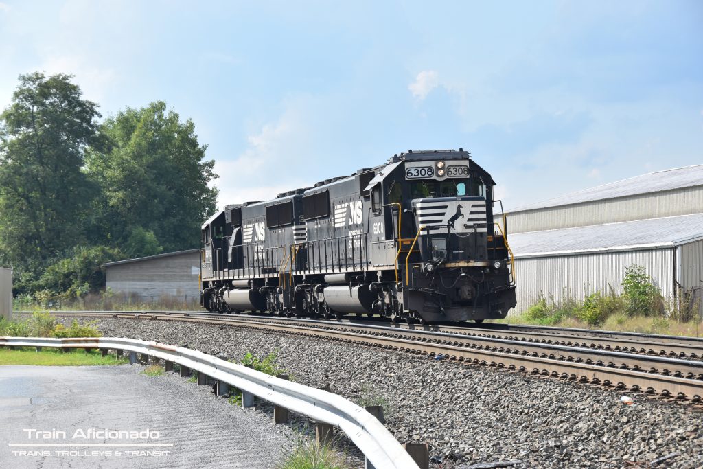
N 8th Street Railroad Overpass
– The overpass overlooks the entrance into Norfolk Southern’s Rose yard.
– This location is used for crew swaps.
GPS:
200 N 8th Street, Altoona, PA
Parking:
Use your discretion
Points of Interest:
Gas/Food | Sheetz – 1015 Old 6th Avenue Rd, Altoona, PA
Location:
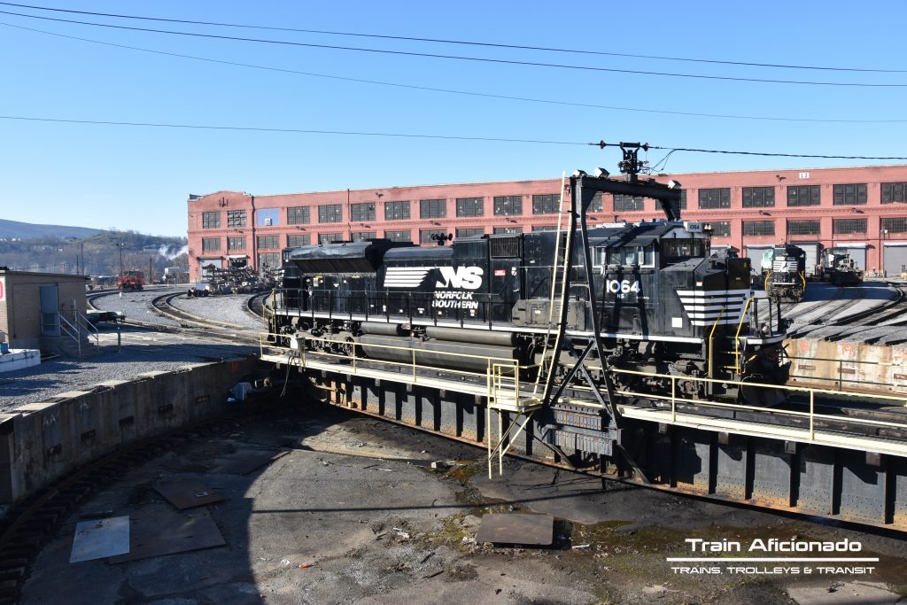
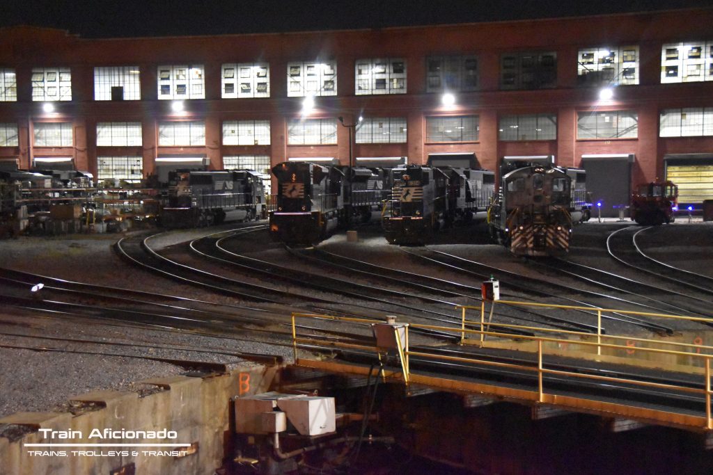
Locomotive Finishing Shop Turnable
GPS:
221 N 6th St, Altoona, PA
Parking:
On-Street
Points of Interest:
Food | Original Italian Pizza – 610 N 2nd St, Altoona, PA
Train Shop| Shaffer’s Full Steam Ahead Hobby Shop – 630 N 4th Ave, Altoona, PA
Location:
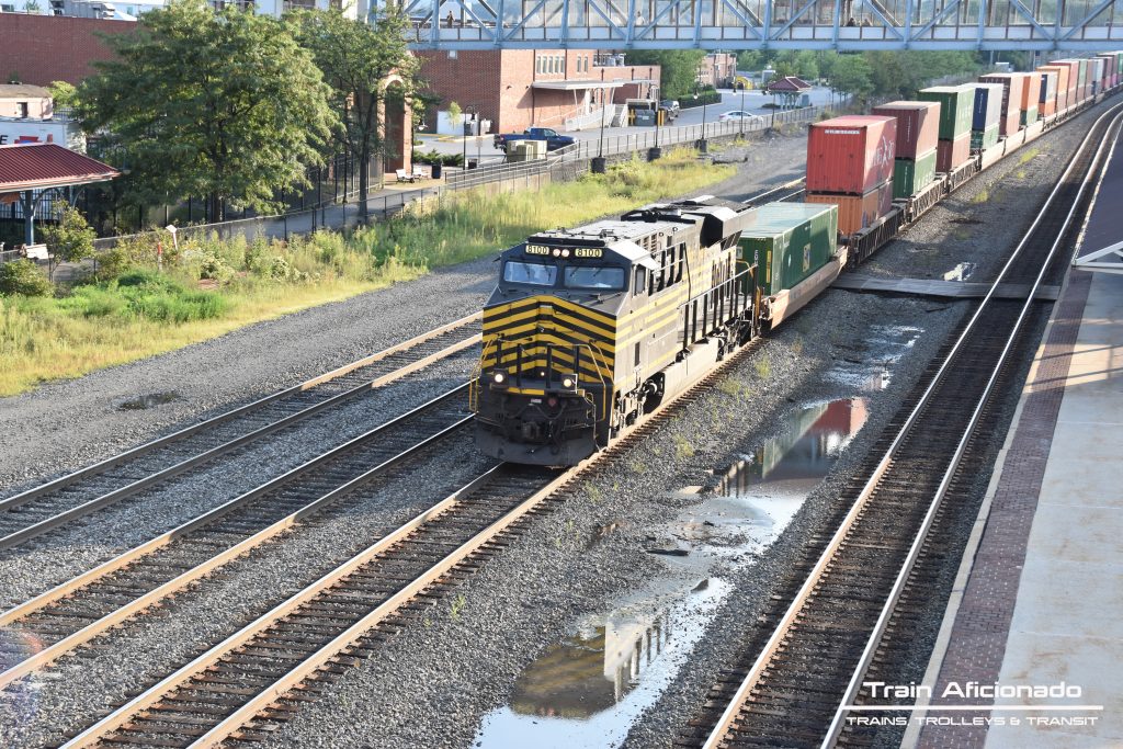
Altoona Pedestrian footbridges
– Great view from both directions, open-air footbridge seems to be the best for photos.
– Both bridges overlook Amtrak’s platform.
GPS:
1414 9th Ave, Altoona, PA 16602
Parking:
Parking behind the medical building.
Points of Interest:
Food/Gas/Restroom | Sheetz – 1915 Pleasant Valley Blvd, Altoona, PA
Snacks| Boyer Candy Co. – 821 17th St, Altoona, PA
Museum| Railroaders Memorial Museum – 1200 9th Ave, Altoona, PA
Camping | Wright’s Orchard Station – 2381 Plank Road, Duncansville, PA
Location:
Horseshoe Curve NHL
– Open from April – November
GPS:
2400 Veterans Memorial Hwy, Altoona, PA
Parking:
Free Parking at the base of the summit.
Location:
Bennington Cemetery
– Great location to see traffic from both Allegheny and New Portage Tunnels.
– The address below will take you to a dirt road called “Bird Eye Road”. Please note this road has deep ruts best to use a high profile vehicle or hike down to the Cemetery. Also, use caution this public right of way runs some of the way parallel with the mainline.
GPS:
800 Tunnelhill Street, Gallitzin, PA
Parking:
Use your discretion
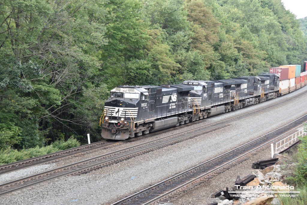
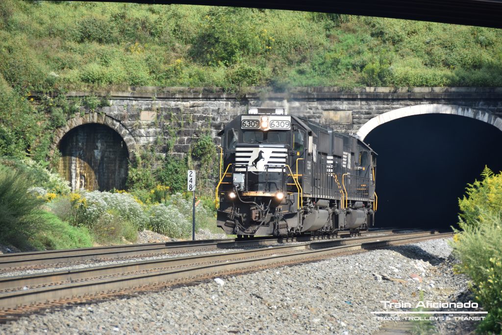
Location:
Gallitzin Tunnels
– Gallitzin Tunnel Closed (1995)
– Many locations to take photos within walking distance.
– Allegheny Tunnel | 2 Tracks | 3,612 feet long
– New Portage Tunnel | 1 Track | 1,620 feet long (Can’t be seen from this location.)
GPS:
500 Convent St, Gallitzin, PA
Parking:
Street Parking
Points of Interest:
Hotel | The Tunnel Inn – 702 Jackson St, Gallitzin, PA
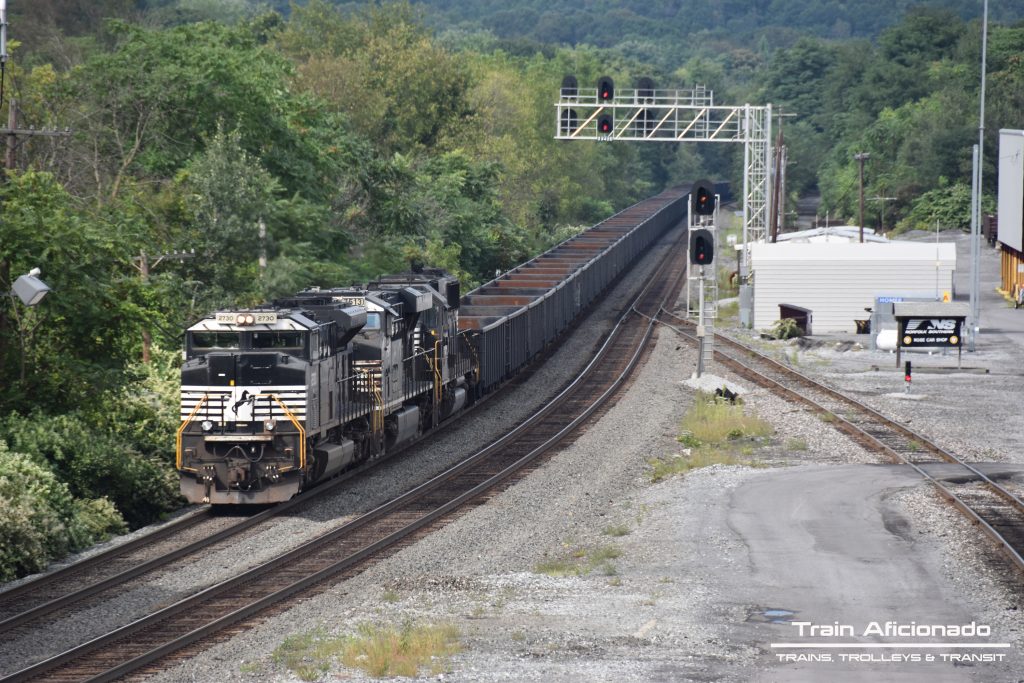
Location:
Cresson Railroad Park
– This location as an evaluated viewing platform.
GPS:
501 Front St, Cresson, PA
Parking:
Street Parking
Points of Interest:
Food | Vito’s Restaurant & Pizzeria – 617 Front St, Cresson, PA
Location:
The Station Inn
– Photos can be taken on both sides of the tracks. [Access to the other side via under tracks tunnel]
GPS:
827 Front St, Cresson, PA
Parking:
Street Parking
Points of Interest:
Hotel | The Station Inn – 827 Front St, Cresson, PA
Food/Gas | Sheetz – 7551 Admiral Peary Hwy, Cresson, PA
Location:
Carneys Crossing
– Great view on both sides of the railroad tracks.
GPS:
135 Carneys Crossing Rd, Lilly, PA
Parking:
Parking on both side of the tracks
Location:
Railroad Street Lilly
– Photos can be taken anywhere along Railroad Street and the overpass above.
GPS:
320 Railroad Street, Lilly, PA
Parking:
Parking under the Old Bridge Street Bridge.
Location:
Cassandra Railroad Overlook
– Great location for westbound with a long curve.
GPS:
175 Main St, Lilly, PA 15938
Parking:
Parking at the end of the road